Understanding coordinate systems is important in some development engineering studies.
We use Google Earth Pro to study development concepts (e.g. plot locations and pipeline routes). Google Earth shows coordinates as lats/longs or UTMs. Google Earth is available for free download here.
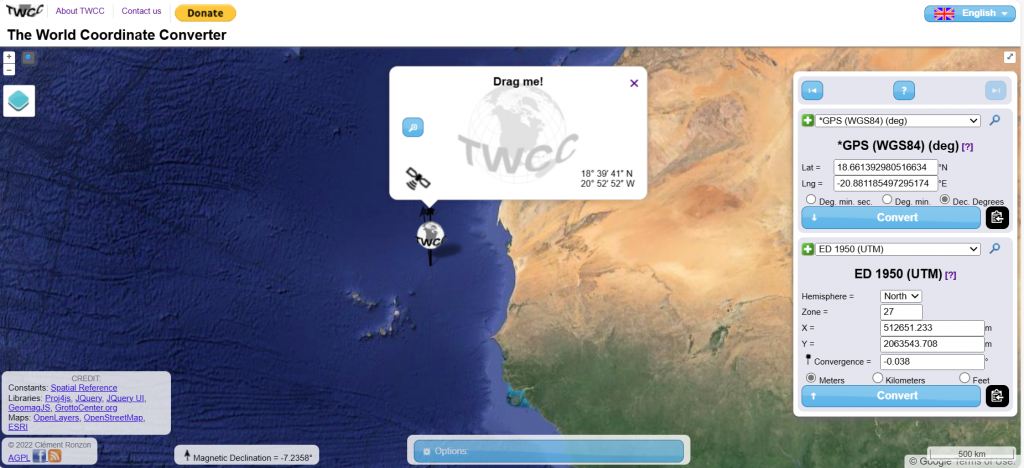
In offshore engineering lats/longs and UTMs are generally used. In onshore engineering national systems are used.
Conversions between systems are complex. Software is available. We use an excellent web-based tool called The World Coordinate Converter. Find it here.